
Don’t let the warm Saturday weather fool you. Snow and high winds are on their way to the Baltimore region on Sunday and Monday.
Maryland is expected to get the tail end of a winter storm barreling toward the East Coast. New Jersey and New York may bear the brunt of the blizzard conditions, according to the National Weather Service. Still, parts of Maryland, including the Baltimore region and D.C. metro area, remain under winter storm warnings and advisories from Sunday afternoon into Monday morning.
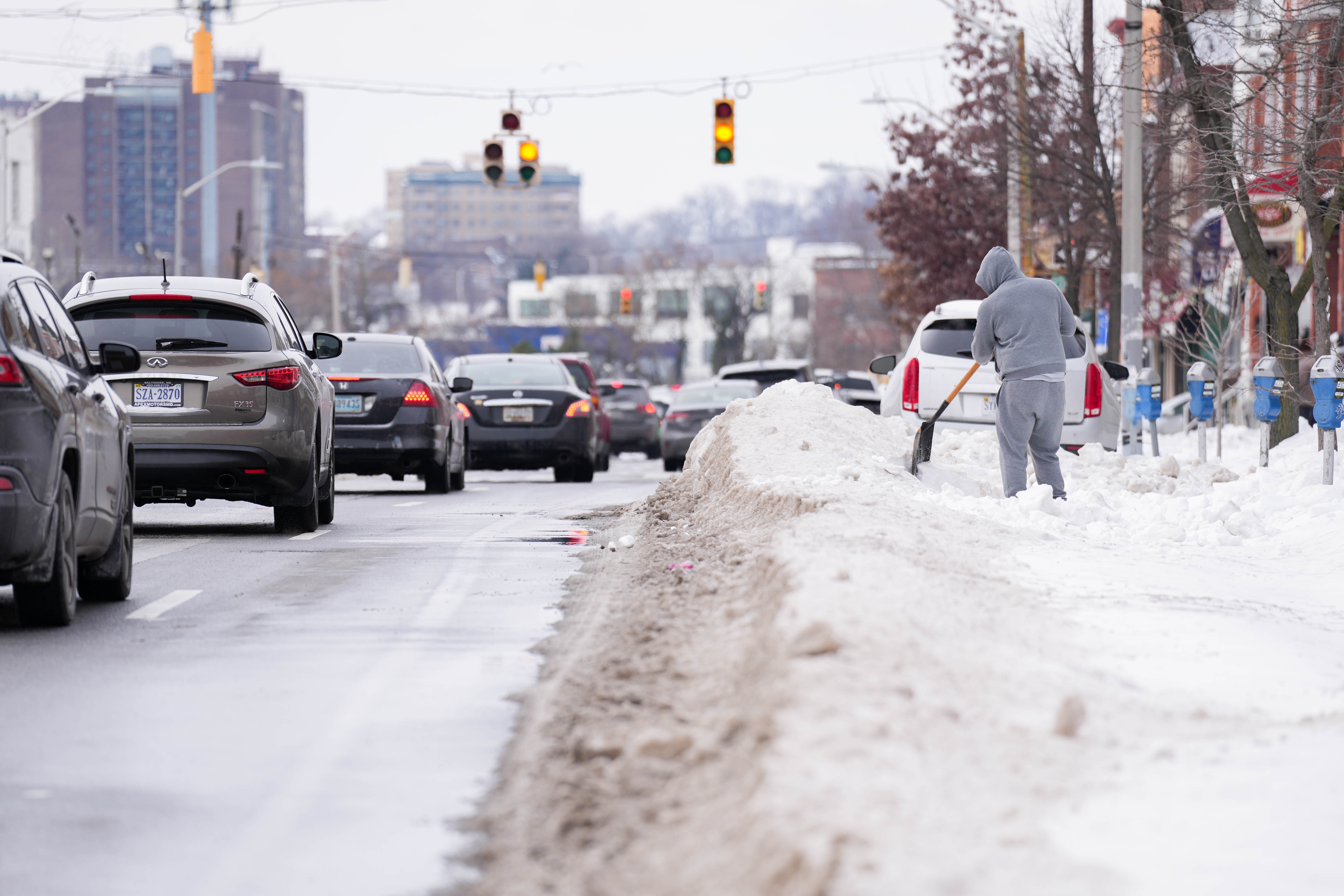
Baltimore and the surrounding counties will likely get 3-8 inches of snow Sunday into Monday, according to Luis Rosa, a meteorologist for the National Weather Service.
In the Montgomery County area, 2-4 inches of snow are possible, according to weather service forecasts. Although the area will likely see less snow than Baltimore, it will be just as windy on Monday.
The heaviest snowfall will hit Ocean City, where residents can expect 6-9 inches with wind gusts as high as 45 mph, according to a press release from the town of Ocean City. Travel will be hazardous in the area, especially on bridges, according to the release.
Talbot, Dorchester, Wicomico, Somerset and Worcester counties may experience blizzard conditions, according to the warnings.
Read More
Temperatures slightly above freezing will keep some of the precipitation from sticking to roads during the day, but snowfall could start to accumulate around 5 p.m. Sunday, when temperatures drop to 32 degrees, Rosa said.
Monday morning commuters should watch out for slushy roads and high winds, which could reach 40 mph, Rosa said. Temperatures on Monday could reach 39 degrees and dip into the high 20s at night.
Jim Abels, a spokesperson for the Maryland Department of Emergency Management, said it is working with state agencies and localities to prepare.
“This storm is expected to impact roads and transportation infrastructure statewide, with the potential for significant snow accumulation and hazardous travel conditions in parts of Maryland,” Abels said in an email.
Marylanders can find local emergency information and sign up for alerts from MDEM on its website. The State Highway Administration has a database that shows road conditions.
Officials warn to be prepared
The National Weather Service warned that power outages can be expected across the Northeast because of the “heavy, wet snow and strong winds” Sunday and Monday. In case of outages, the weather service advises having nonperishable food, first-aid kits and warm layers ready in your home.
Maryland-specific resources and preparation tips can be found here.
Though, if you’re looking to gear up, salt may be hard to come by after January’s snow dump. The ACE Hardware store in Federal Hill was sold out of salt for those sidewalks and steps. Stock on its website was low for Baltimore-area stores.
Home Depots were also mostly out of salt, according to the stock shown on its website.
Despite the consumer salt shortage, the State Highway Administration, which maintains state numbered, non-tolled roads and interstates, said it was at 80% capacity for its salt supply.
This winter storm is not likely to match January’s, which buried Maryland under snow and ice for weeks. At the middle to end of next week, the weather will start to feel more like early springtime, possibly reaching 50 degrees, according to the weather service.
From Sunday at 4 p.m. through Monday at 9 a.m., Baltimore will open winter shelters and warming centers. A list can be found on the city’s website and social media platforms.
This story has been updated.


Comments
Welcome to The Banner's subscriber-only commenting community. Please review our community guidelines.